Silsden Strolls
I’ve proposed to the council that I plot and describe half a dozen walks using the parish’s marvellous network of footpaths and bridleways. For free. This would gently introduce a lot of people to the pleasures of walking in the country; no walk would be longer than three miles and all within the parish boundaries; and, most importantly, each walk would be both fully waymarked on the ground and available in leaflet form from various outlets in the town. So, nobody need feel nervous of using any paths and suddenly finding themselves in the middle of nowhere not knowing where to go. Single parents looking for access day activities, grandparents with children, adults who’ve never crossed a stile – these are for you.
I’ve told the council that I’ll take on all the responsibility for these Silsden Strolls as long as they agree to provide funding for plastic waymarks custom made for each walk; and for printing the walks professionally on full colour gloss A5 paper. I’m still waiting for a response, but if you feel that this would be of interest to you, your friends or, most importantly, to your children then get in touch with the council and suggest they adopt the proposal.


I think this a great idea. Do you have an email address for the council.
silsdentownclerk2@blueyonder.co.uk
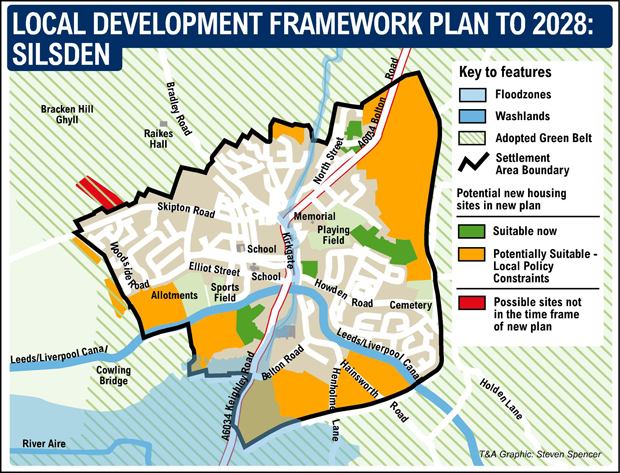
An interactive map which shows footpaths
https://maps.bradford.gov.uk/LocalViewext/Sites/CROWPublic/
Yes thanks – I already have that from the Silsden library. But of course online or paper maps showing apparently straightforward paths are not the same when you get on the ground and find no waymarks and become discouraged from going over more than a couple of fields. What’s on the ground is very often harder to follow than a map. One reason for my wanting to write / describe / waymark the Strolls.